2 week break from racing + midsummer = alpine riding. The snow is all gone, the infrastructure is recovering from the floods and I have some (more) time to get up high!
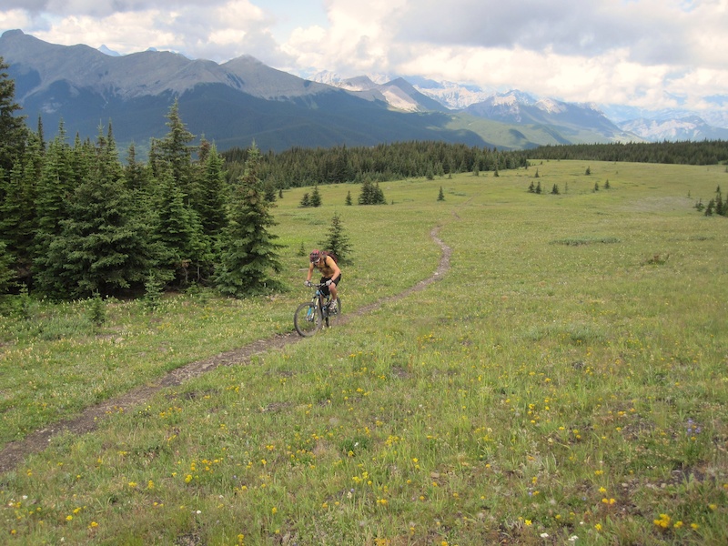 |
| Kicked it off with Jumpingpound to Cox Hill |
Kicked it off with JP-Cox. We love to ride this one up the north access to JP, tag the summit, then over to Cox and down. Great alpine singletrack to ride time ratio and some awesome long descents!
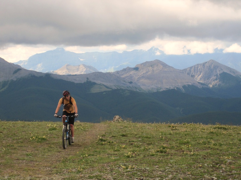 |
| With pretty much all the climbing behind us, getting ready for a nice long descent! |
First up was Brewer Creek to Panorama. The ride is well described in Doug Eastcott's Backcountry Biking in the Canadian Rockies guidebook, the Bible for mountain biking around here! The route also served as Stage 1 of the 2008 Trans Walkies, although they travelled the opposite way we had planned. I rode with my brother, my friend Martin, and his buddy, Pierre.
With rumours that the last descent may be a little overgrown, we were a little skeptical, but thankfully we knew there was a way around that as the TR stage entered from a different trail, albeit with some boring gravel road rather than exciting singletrack. Anyways, we set off on the long 25km logging road access, found the road had washed out just before the trailhead (still passable on the bike) and any easy picking parking spots were already occupied by hiker's vehicles. So we parked at the bottom of the last steep hill, by a small bridge.
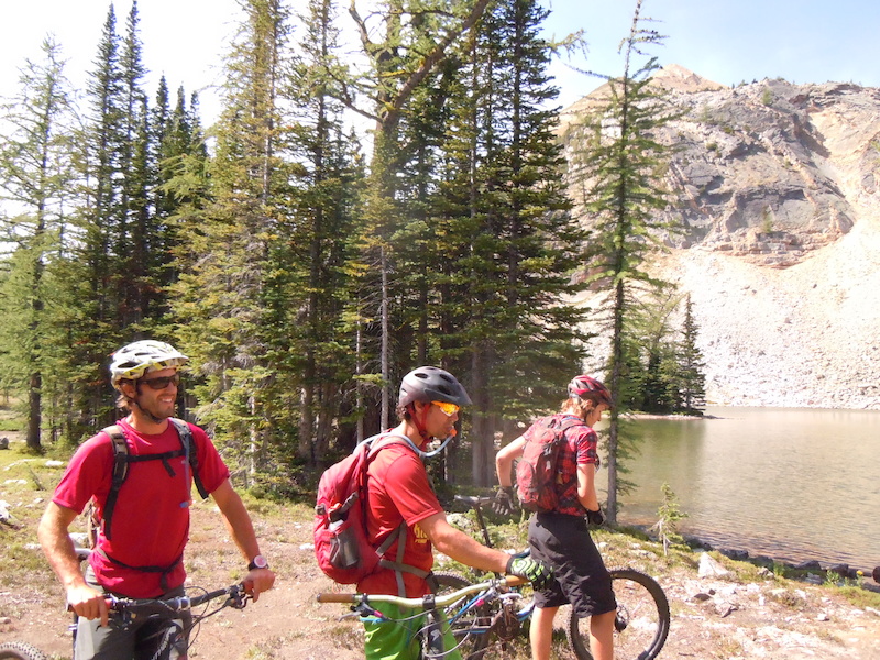 |
| Up at the lake! A nice stop after some steep climbs in the trees and some open meadow riding. |
The trail starts off pretty steep with lots of big roots and we were all pushing each other to clean some sections, but we often had to resort to pushing our bikes up the trail. The alpine came quickly though! Some more ups and downs brought us to some fun scree riding.
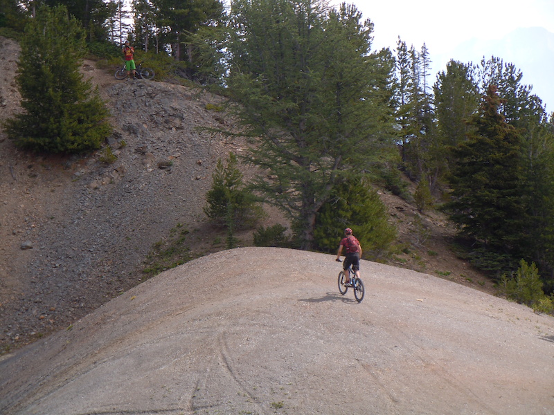 |
| Due to the nature of the ground, the trail loses its definition, but this and the next picture should help! Climb the ridge to past where Pierre is standing (top left) and drop into the scree! |
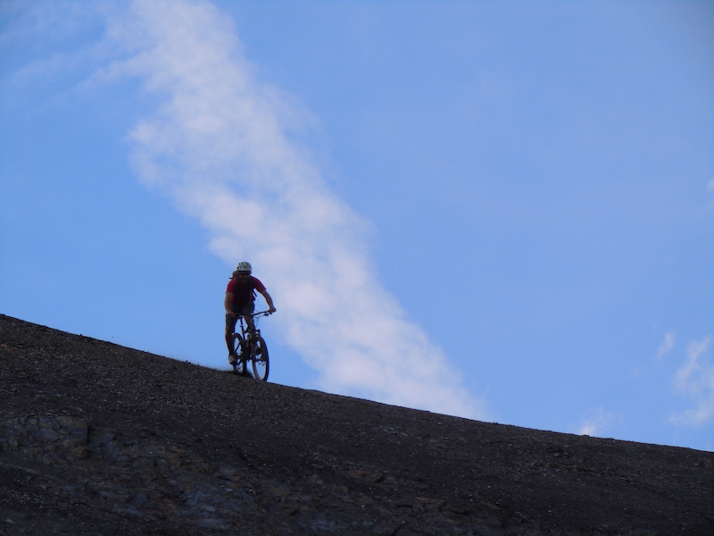 |
| The descent continues from the bottom of this scree slope. |
And that continued with a short, but fun descent, before some steep climbs along sidehills that required some pushing, both of our bikes, and of our abilities to try to clean some sections!
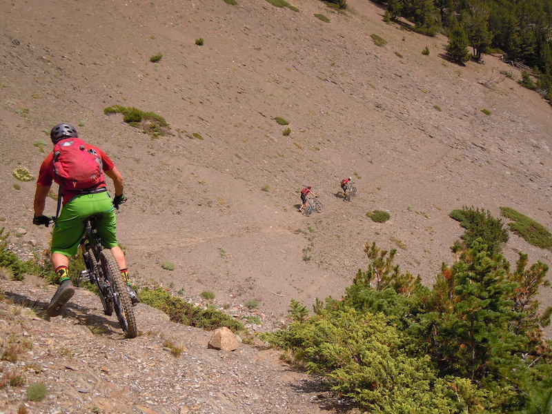 |
| loose scree sidehills, keep an easy grip on the handlebars! |
A short descent to some old outfitters cabins.
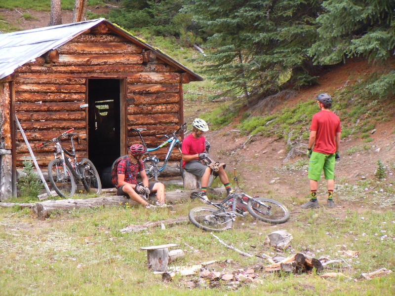 |
| Great spot for a lunch stop |
Here is where our route differed from the book. The book suggests following the creek up a gentle climb to the pass, and then taking a 1000m vertical, 10km long descent to the car at the base of Panorama. Instead, we climbed up a steep trail (more pushing our abilities and our bikes) to a 4 way singletrack junction on the ridge above the pass. I think right goes up to Mt. Goldie where you can descend to Castle Rock, left goes down to the pass for the proper descent, and straight heads into the bowl with some rolling sections before gaining the ridge to Tayton Bowl at the ski hill (The trail connects to the access road right by the "Never Never Land" sign for those looking to ride this the other way). We went straight.
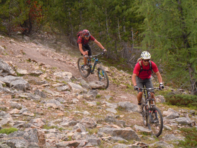 |
| Some fun along the ridge back to the top of Panorama ski hill |
The ride from the junction to the top of Panorama was actually pretty fun. As we got nearer to Pano, and we knew that the climbing was almost all behind us, we could really go full gas up the steep climbs. Earlier on, the legs were feeling burned from the steep climbing at the beginning, but I guess once you know that it's pretty much over and there is still gas in the tank, then you can open the throttle! So we got to the top of Panorama. Now what? 840 vertical meters of ski hill road until we can get to the bike park. How anticlimactic. Well at least Bazooka Joe offered up some smiles.
Great ride. I would like to try to do the last descent properly, I've heard it's awesome, but it is a good idea to call the bike shops first to see if they know what kind of condition it is in (overgrown?). It would be cool to access that descent from the top of Panorama. It would be fairly quick, and no need for a long car shuttle. Another suggestion would be to ride Brewer to Pano, but start earlier on the road to make the car shuttle shorter.


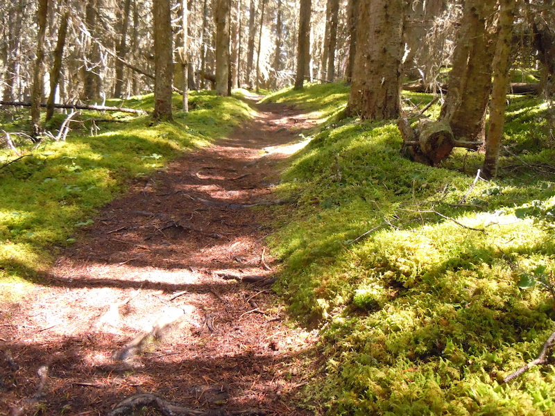


Hey there I am working with Parks Canada to look at the Beaver Valley- Bald Hills area for biking. Yours is one of the best pics I have found of the area. Could I use in my report to them? Contact me at globalgroupies1@gmail.com. I can send you me credentials. THis would be for the eyes of Parks Canada only, not public release. Thanks!
ReplyDelete