The French-Haig-Robertson traverse is a Kananaskis classic. Pick a day with great weather and you will be rewarded with views and easier navigation once up on the Haig glacier. And the slog up the French glacier is downright miserable with the wind blowing in your face. When you get on the wind scoop at the base of Mt. Robertson, look across the glacier and gaze at the aesthetic line coming off the north ridge of Mt. Maude.
The line is another couple of kilometers from the French-Robertson col and it "grows' to its full 300m as you approach it. Put the skis on the backpack and boot up the face until it thins out near the upper ridge. As this is a steep, high, north face, the skiing should be committing, but soft.
Looking down the line to the Haig Glacier
Top elevation: 2900m
Line Length: 300m
Total Vertical: 1300m
Round Trip Distance: 21km
Other skiing in the area: Aside from the classic French-Haig-Robertson circuit, which also makes a fantastic finish to Mt. Maude, there are numerous couloirs in the French glacier drainage. Mt. Jellicoe also holds some potential as a ski descent though it is hard to make it to the south facing line before the sun. Otherwise the skiing in the French drainage or Burstall Pass is fairly mellow should you find conditions are not up to your liking.
Isothermal snow in January? Just another day in Fernie! Once again, conditions were spiced up with a rain crust before the 2nd annual Fernie Lizard Skinner. Things weren't as spicy as last year and the steep groomed climbs offered a little more traction, and skiing down the Diamondback run was not as miserable, except for some grabby alders. The course was even more of a groomer drag race this year with a short skintrack in the trees near the top of the 1st and 2nd climbs was removed with the course instead sticking to the groomed run. I don't mind the lap format.
I felt great. I took the lead going pretty hard, but not "chasing Eric and Nick and then paying for it on the last climb" hard. It was a similar tactic as last year, but this year it worked as I was able to ski to victory. For those of you reading since the very beginning, this is my first "Canada Cup" victory as my only other victories have come at smaller night races (Vert 180, Tiki Torch Dash) and a race in the States (Whitefish Whiteout). Things are starting to come together in time for world championships next month.
Like at the Castle Cat road, I looked back at my GPS file for a comparison
Chickadee Valley is described in Chic Scott's guidebook in the "Powder Slopes Near the Road" section, specifically detailing the yo-yo potential of the menacing, south facing, slidepath runouts off of Boom Mountain that have been the scene of a fatality over the years. But the area really comes into its own when stability improves by the spring. Ignore the southwest facing slidepaths and focus on the large NE cirques and southerly morainal glacial approaches and it can be hard to believe so much great skiing and scenery can be packed into just one valley.
The north glacier run off of Mt. Whymper into Chickadee Valley is my all time favourite backcountry ski run. It presents 900m of skiing broken up into three pitches of steep-ish skiing. The first pitch is pure glory dropping into a wide open north face. The final pitch is the most interesting with morainal spines or gullies. The line can be approached either by centerpunching straight up it via the Chickadee Valley, or as a loop, best done with a bike stashed at the BC/Alberta border to blast the 3km of highway back to the car at the Stanley Glacier parking lot. These are big, open slopes with lots of mass, so you definitely want good stability before you even think about attempting them.
The upper pitch gets the thumbs up!
From the Stanley Glacier parking lot: Stash a bike at the BC/Alberta border sign. Finish the drive to the parking lot. Cross the highway, ski up through the burned trees trending towards a hanging valley. If you stay east of the gully coming out of the hanging valley, it is possible to avoid having to climb directly up the gully. Once in the hanging valley, wrap around and make your way up the steep slopes to the col. From the col, one can leave the skis behind and top out Mt. Whymper.
From Continental divide parking lot: Ski up Chickadee valley. The run is the 2nd "skiable" bowl coming off of Mt. Whymper (the first skiable bowl also offers good skiing, but on a much shorter run!). Climbing the first pitch you have 2 choices: Steep moraines, or mini couloir. Pick your poison. For the next pitch there are two more options: Climb up the main bowl, or work your way up through the rocks connecting steeper snow patches. The last pitch is obvious. You've got to find a way to the top!
Other options: As mentioned, the Chickadee Valley is home to some amazing skiing. My personal favourites are the south facing morainal runs at the end of the valley rather than the south west facing slidepaths off of Boom Mountain.
While skiing/climbing the middle pitch, you might notice a couloir! This is an exciting option and it even tops out to the ridgetop if you push it hard enough.
Not to be confused with the windblasted Storm Mountain on the Continental Divide (described in Chic Scott's Summits and Icefields), Mt. Storm's north facing couloir is a striking feature visible from Highway 40 dropping from a notch in the west ridge. As Highway 40 over Highwood Pass is closed from December 1 until June 15, it can be hard to nail the conditions on this line: Full on winter instabilities before the gate drops, and possibly filled with runnels and debris by the time the gate opens. And like most other terrain at Highwood, the snow can be heavily wind affected.
The approach from the roadside parking just south of the main Highwood Pass parking and up through the Arethusa cirque is a little quieter than the pandemonium that goes on at the summit of the pass as people head towards either Ptarmigan or Pocaterra Cirques. The tour to the base of the line is interesting. First ski up the creek until the trees thin out. Then head up over some boulders, which may have minimal snow coverage, and ski out into the fan coming off of the north face of Mt. Storm.
Total Distance: 4.5km (add another 40km if you want to do this one between December 1 and June 15!)
Total elevation gain: 700m
Top elevation: 2850m
Line Length:250m
Other options: Arethusa cirque holds some good, short, low angle terrain. The bowl below the couloir can be good for a couple of laps. Look for the Arethusa south facing couloir in a future write up.
At 6.5km, the ski up the Taylor Lake trail (from the Taylor Parking area on the Trans Canada Highway) seems long. It never seems to get any easier. But it provides efficient ingress/egress to 2100m. I'm told this area is busy in the summer, but there might be only 1 or two groups in the area, often none at all. Once at the trail's namesake lake, the main couloir is still not visible. While skiing across the lake, the broad couloir will start to appear: first its upper bowl, then its distinctive vertical wind lip-spine will appear. A crux appears early: Just getting up to the moraines from the lake requires a couple of steep, awkward, kick turns on a snow-covered waterfall. The skin up the moraines to the couloir is fairly self explanatory. As the slope steepens, decisions need to be made. There is a convex roll as the couloir drops from the upper bowl into the steepest part of the line. I've attempted and backed away this line a couple of times in stormy weather, and it appeared that the line was getting loaded up by snow blowing down the line as I was getting blasted by spindrift and sluff.
The couloir isn't necessarily steep or narrow so only a short bit of bootpacking is required to gain the upper bowl.
Distance: 22km
Elevation Gain: 1210m
Top Elevation: 2750m
Line Length: 300m
Other Options in the Area: There are options for safe and other shorter, steeper skiing off Panorama Ridge. There are also a couple of big skinnier couloirs in the area, you are really only limited by your imagination. Stay Tuned for future lines of the week. The moraines also make a good lap.
Skiing the windlip-spine: This is a fairly advanced alternative. Each turn atop the spine will send snow cascading down on either side. The spine steepens (i.e. it rolls convexly!) and becomes planar forming a classic trigger point. Sluff on either side might prevent an easy escape should something happen.
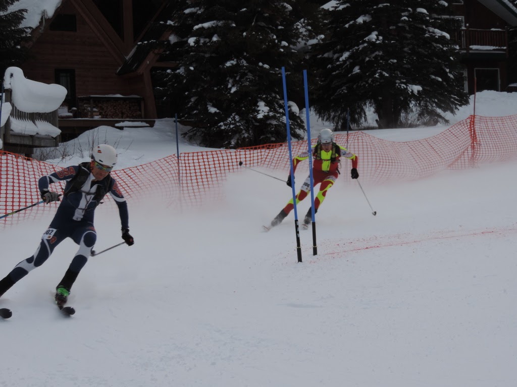
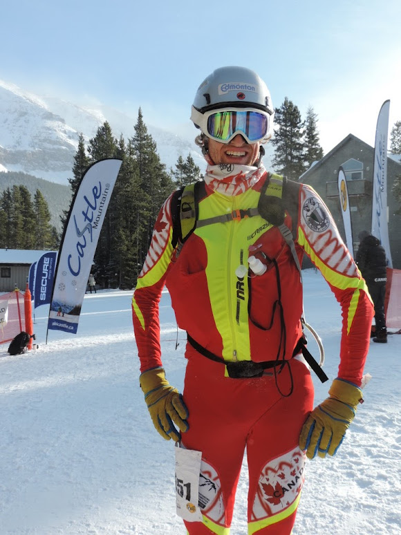
A cold snap eased up on the weekend and allowed us to race the Castle Mountain ski mountaineering race in excellent conditions.
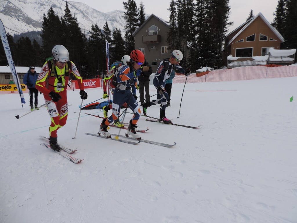
Once again, a sprint race took place on Saturday afternoon before the main event on Sunday. The sprints were action packed with upsets, misfortune, and glory thrown in there: blown skins, skis releasing, skis falling off backpacks, forgotten backpacks, crashes on the descent 😏, "photo" finishes, body contact, broken bindings, and a 14 year old knocking me off the podium!
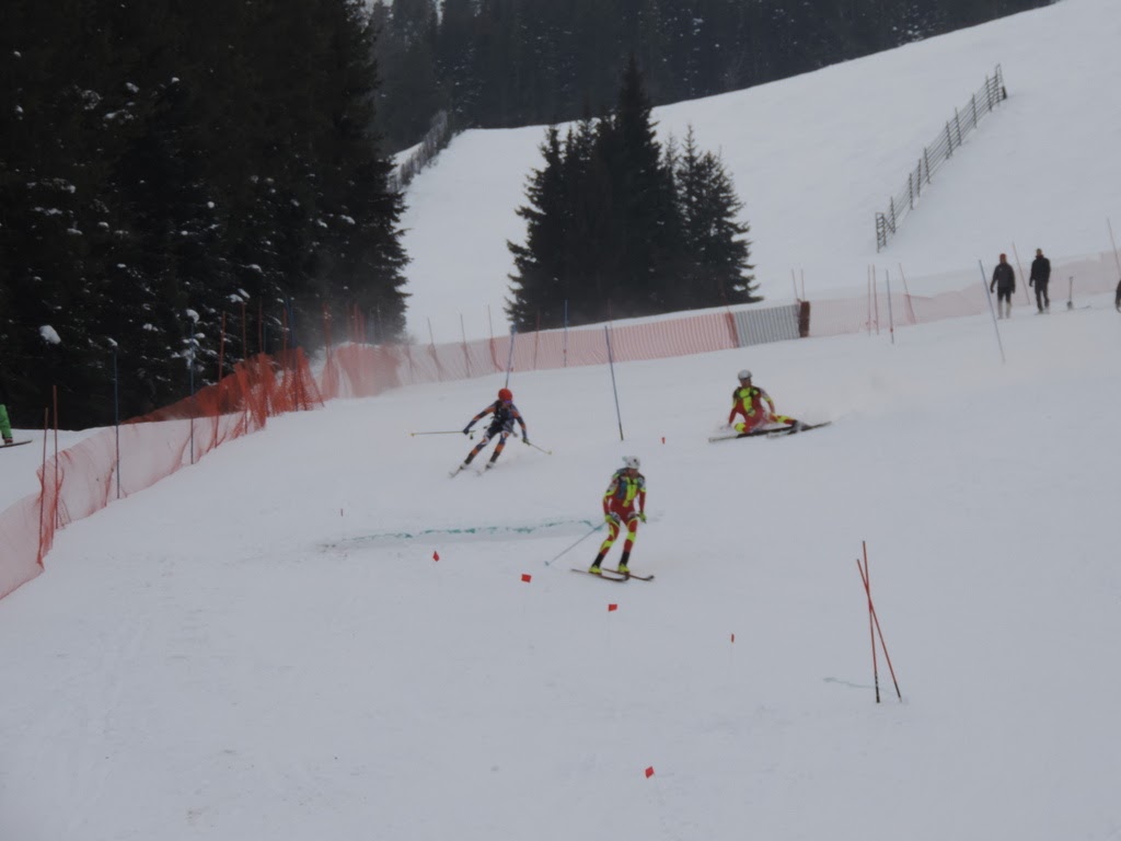
Skiing a little too aggressively on the descent, trying to set up for a pass further down.
I don't sprint nearly as much as I should. Honestly, it is the one discipline someone from Edmonton should practice more than anything else and will be a focus point leading up to worlds. I felt strong and raced without the major mistakes that have cost me in previous races (binding step in, fumbling with backpack straps). I was 99% there, but needed that extra 1% in what was quite a skilled heat in the finals. It was cold so I raced with thicker gloves to keep my hands from going numb. Take the line that will allow you to execute cleanly, not necessarily the fastest.
The next day we were greeted with an inversion up high so we would be racing into the warmth! I started off hard, lingering not far behind the leaders and skinned well once the course left the initial groomed run drag and into the freestyle skintrack up through the chopped moguls. I lost contact after my skins failed (I should have put them on inside) but was able to hop back in after Travis.
"Hey Nick, did you remember your backpack?"
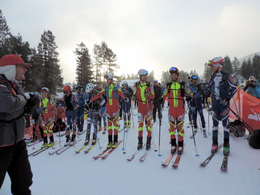
from Castle Mountain Resort Facebook
from Castle Mountain Resort Facebook
The cold snap of December destroyed any cohesion that the snow had, and so the course skipped the rocky, descending bootpack along the ridgetop, and joined into the bootpack at the saddle. Travis passed me on the descent. Excellent ski conditions with some fresh snow on top of wind buff skied very well on the race skis. The second climb was as steep and relentless as I remembered and I was unable to chip away at my deficit to Travis. Skiing down through the cat ski terrain was a real leg burner lower down once the snow was deeper and less wind affected. I ended up 4th, but 9.5minutes back.
It is interesting to look back at the GPS files and check out the stats on the final climb up the cat road, which other than being a single skintrack set beside the road, with a bootpack in 2013, has remained a constant in this race. In 2014, we did this climb twice on a weather-altered course, so the times are taken from where the bottom transition normally goes.
Year
Elapsed Time
Elevation Gain (Garmin, m)
Ascent Rate (m/hr)
2013
00:31:59
504
945
2014-1
00:26:30
513
1162
2014-2
00:27:35
504
1096
2015
00:26:47
509
1140
2016
00:23:44
514
1299
2017
00:26:04
541*
1245
*Transitions look to be in the same place, but there is a ~25m difference in elevation gain. If only I had the paced myself to climb at the same rate as last year?